About
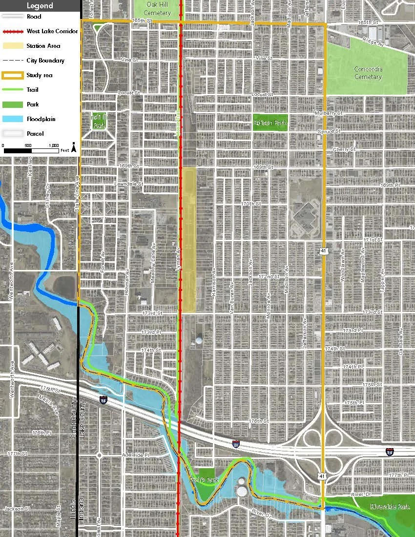
The South Hammond Station Neighborhood Plan will cover the area surrounding the new South Hammond Train Station (see Study Area below).
The two primary components of this planning process are:
An assessment of traffic impacts related to the new station will be completed. Recommendations for mitigation measures to reduce impacts on neighborhood streets will be developed.
A community-input driven neighborhood plan with recommendations for infill, redevelopment, and district quality of life enhancements.
The Plan will analyze demographic and socioeconomic conditions and trends occurring in Hammond and within the study area while also focusing on topics including Land Use and Redevelopment, Transportation and Traffic, Quality of Life, and more.
Study Area